
TOPOGRAPHIC SURVEY
Production of precise, detailed spatial data covering natural and developed features over a site, forming the foundation for informed decision making and successful project planning.
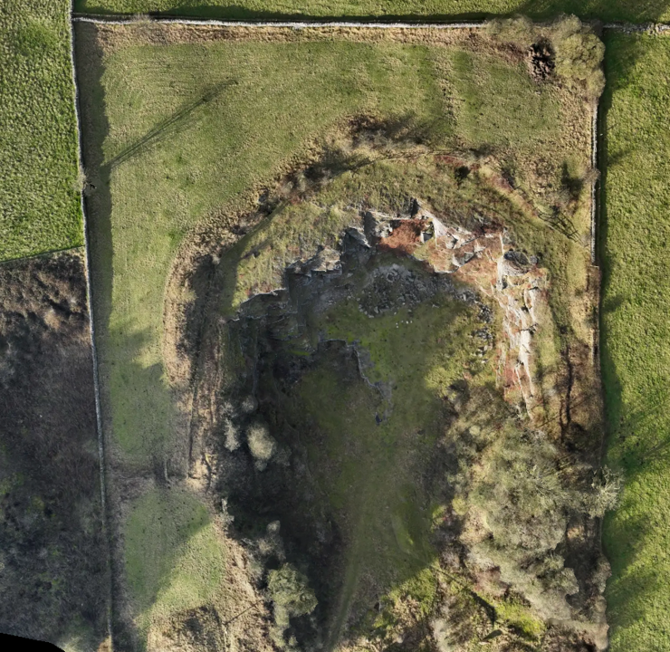
COLLECTION
Data collection conducted by us using aerial survey methods, and utilising available datasets through third party suppliers based on your requirements.
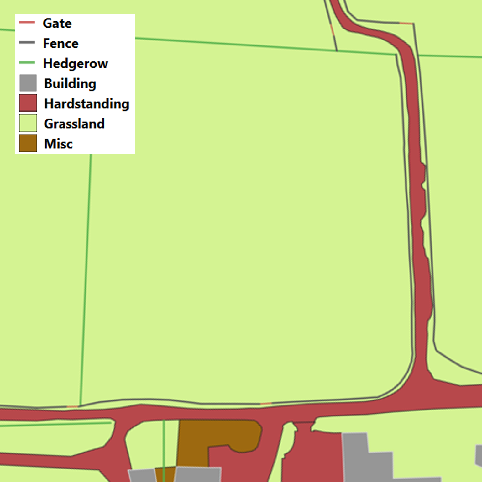
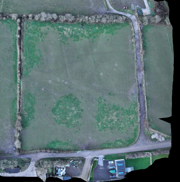
CLASSIFICATION
Identification and categorisation of features for creating accurate detailed models and plans to deliver informed decision making.
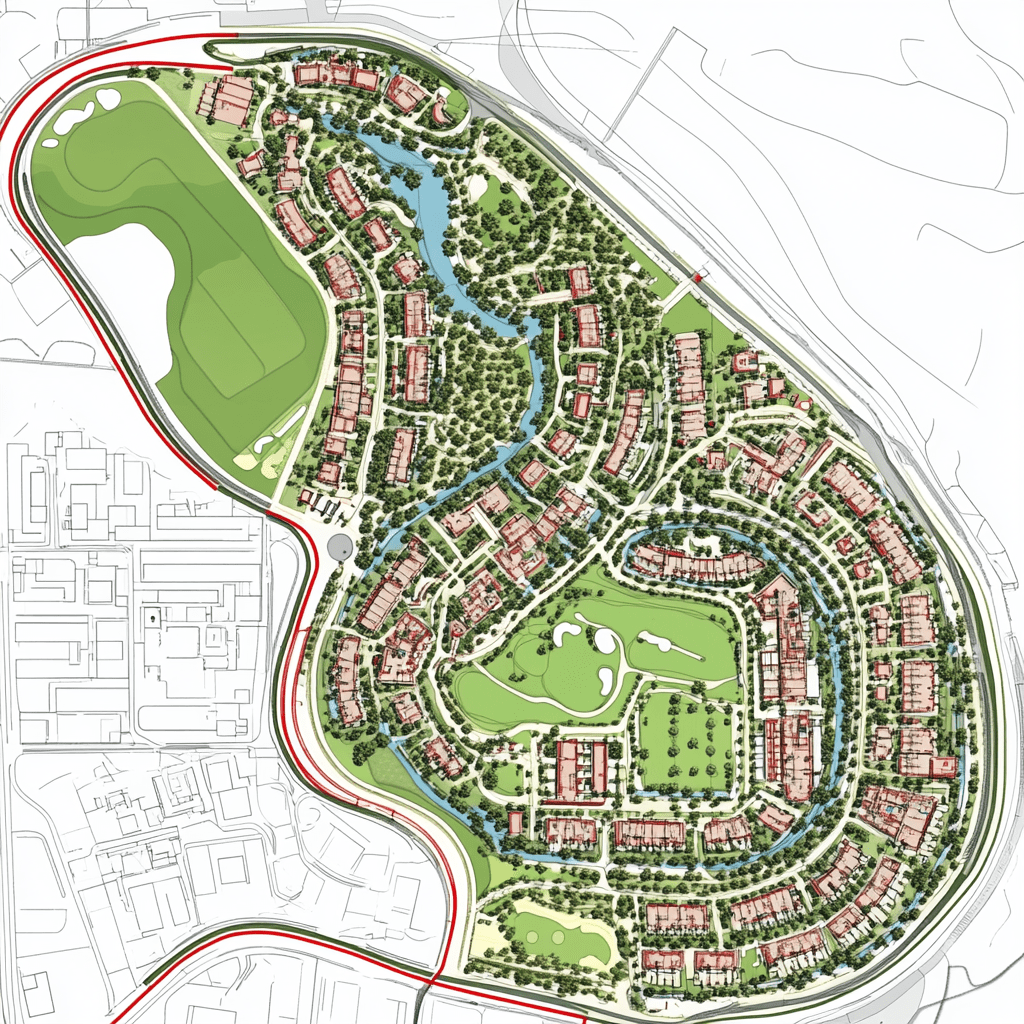
OUTPUTS
Detailed plans, charts and maps derived from your spatial data delivered in an aesthetic and functional output.
